
Managing the Land: Tribal communities nationwide gain GIS skills through MSU institute
Contact: James Carskadon
STARKVILLE, Miss.—A Mississippi State University research institute is helping to develop geographic information systems (GIS) skills in tribal communities across the country.
An online training program established by MSU’s Geosystems Research Institute in partnership with the U.S. Bureau of Indian Affairs has provided GIS training for more than 500 individuals in tribal communities, boosting skills in land management, environmental conservation, community development and more. The program was launched in 2023 to help the Bureau of Indian Affairs meet GIS training needs, building on previous outreach carried out by the university’s research institute.
“The Mississippi State training partnership with the Branch of Geospatial Support has been extremely beneficial to the Bureau of Indian Affairs employees and Federally Recognized Tribes,” said David Vogt, chief of the Bureau of Indian Affairs’ Branch of Geospatial Support. “It allows us to have many more students in each class than we were previously able to provide and at a lower cost. This allows more BIA employees and particularly tribes to take trainings they wouldn’t have had access to before.”
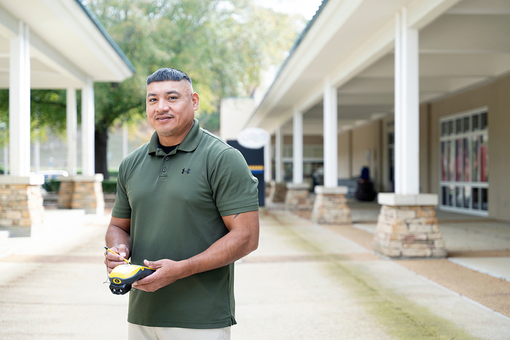
The two-week, self-paced classes cover key topics and software such as ArcGIS Pro, QGIS and Python. Roddy Nickey, director of land management and GIS for the Mississippi Band of Choctaw Indians and a two-time MSU graduate, said the training complements the GIS work he has been conducting for more than a decade and helps him stay up-to-date on the latest software tools. The Mississippi Band of Choctaw Indians manages approximately 35,000 acres of property in the state.
“The training equips tribal and community members with the knowledge and skills needed to effectively use GIS technologies by providing hands-on training and it helps build the capacity of individuals within tribal communities to collect, analyze and visualize geospatial data, which will increase efficiency,” Nickey said. “Also, by gaining GIS expertise, individuals can pursue a career in various fields such as land management, environmental planning, emergency management and cultural resources.”
MSU’s Geosystems Research Institute has a long track record of providing GIS training to public-and-private sector individuals through longstanding partnerships with the National Oceanic and Atmospheric Administration. The GEO Project, led by Assistant Extension Professor John Cartwright and funded by NOAA’s National Ocean Service’s Office for Coastal Management, was created in 2006 and has provided training to more than 5,000 participants. Dixie Cartwright, training and external facilitator for the Geosystems Research Institute, said she has been encouraged by the strong interest in GIS training from tribal communities.
“There are several benefits to adopting GIS technologies and building these skillsets among individuals,” Cartwright said. “We are proud of this partnership with the Bureau of Indian Affairs and look forward to continuing to provide GIS training to tribal communities, as well as the many coastal communities we have traditionally provided this training for.”
For more on the Geo Project, visit www.gri.msstate.edu/GEO.
Mississippi State University is taking care of what matters. Learn more at www.msstate.edu.